
Easy Walks and Short Hikes in Lugo Province
From giant eucalyptus groves to hidden waterfalls, the province’s PR, SM and SL signposted network makes it easy to find a route without much planning. Below are ten of the easiest and most rewarding options, along with where to find GPS tracks and what to check before setting out.
Near Viveiro, the short loop through Souto da Retorta in Chavín is barely two kilometres and takes under an hour, yet it holds some of the tallest eucalyptus trees in Galicia, including the specimen locally known as the “Avó”. The paths are flat enough for buggies and wheelchairs in places, making it one of the most family-friendly entries on this list, and it’s at its best in spring or early autumn when the light filters differently through the canopy.
Inside Lugo city itself, the Paseo do Río Rato offers a gentle three to five kilometre riverside walk along the Miño, complete with bridges and benches. It’s well signposted and needs no special preparation, which makes it a good option for a stretch of the legs without leaving the city behind.
Further north, around Baleira and A Fonsagrada, the ancient forest of Fraga da Marronda spreads along tributaries of the river Eo. The full network runs from five to twelve kilometres, but shorter subroutes make it possible to sample the old-growth woodland and its biodiversity without committing to a long day. Closely related is the Ruta da Marronda along the Alto Eo (PR-G 145), a longer waymarked trail that’s been split into sections of three to eight kilometres; picking just one section, ideally near the source of the Eo, keeps the walk easy while still passing through remote, forested terrain.
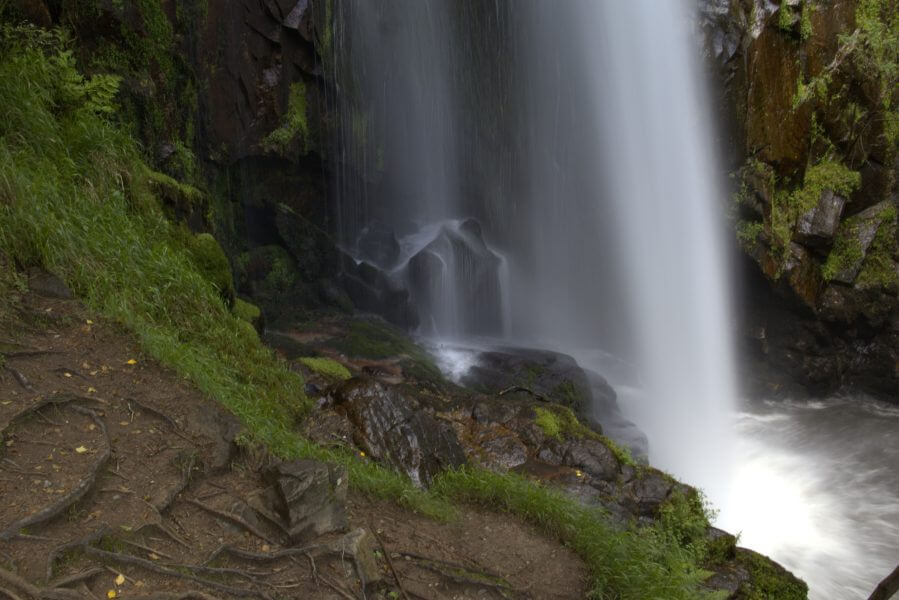
Ribeira Sacra contributes two entries. The path to the Augacaída waterfall near Marce in Pantón is a short two to four kilometre round trip to one of the region’s most photographed fervenzas, with a few small picnic spots along the way and river views for most of the walk. More broadly, the area around Parada de Sil, O Saviñao and Pantón offers a scattering of short vineyard and river viewpoint walks, generally two to six kilometres, that can be combined with a stop at one of the marked miradoiros over the Sil or Miño canyons.
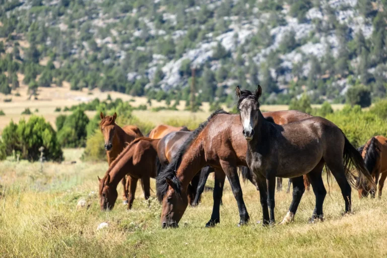
Up in the Serra do Xistral, near Valadouro and Coruxos, the terrain shifts to highland moor and peat bog. Loops of three to six kilometres around the Coto da Lagoa area are manageable in under two and a half hours, though the ground can turn boggy, so proper footwear matters more here than on most of the other routes. Birdwatchers in particular tend to linger in this stretch. Nearby, close to Alfoz, the Fervenza Escouridal is a short two to four kilometre approach to a modest waterfall through pleasant forest, best done in wetter months when there’s more water coming over the rocks.
Back around Baleira, within the wider Fraga da Marronda network, the routes toward Pozo da Ferrería pass a series of pools and small waterfalls through native woodland, generally three to eight kilometres depending on which access point is chosen, and pair naturally with the other short Marronda sections mentioned above.
Rounding out the list, sections of the Loio river walk (near PR-G 14) run four to eight kilometres through shaded riparian forest close to the Camino routes, well marked as part of Turismo de Galicia’s wider walking network.
All of these are official PR (long-distance), SM or SL (short-distance) routes, which means they’re waymarked with the standard yellow-and-white or yellow-and-red signs found across Galicia. Conditions can still change with rain or season, so it’s worth checking recent reports before heading out, and GPX tracks for most of these are available through Wikiloc, Komoot or the Turismo de Galicia website.