Anyone who follows this site for a while notices a pattern in the photography. Wide shots of river valleys, miradoiros, terraced vineyards, the odd waterfall, but never a face. That is not an accident, and it is not only about privacy, though privacy is part of it. It also comes down to what a drone can and cannot legally capture here, and getting that right has taken a bit of homework.
The starting point in Spain is AESA, the national aviation safety agency, and the rule that trips up almost everyone coming from outside is the assumption that a small drone is somehow exempt. It is not. If a drone carries a camera, and nearly all of them do, it needs to be registered with AESA and carry a visible operator number, regardless of how little it weighs. We registered before our first flight here, a process that took less time than we expected once we had the paperwork sorted, and the number now sits on the underside of the aircraft the way it should.
Once registered, the practical rules for recreational flying are fairly straightforward. A maximum height of 120 metres above the ground, keeping the drone within visual line of sight at all times, and staying well clear of people, roads, and any gathering of more than a handful of others. None of that has ever felt restrictive out here. The whole appeal of flying over the Ribeira Sacra is the landscape itself, the way the river curves through the terraces far below, and that kind of shot rarely needs much altitude or a crowd anywhere near it.
Where it gets more specific to this region is the question of where exactly you are allowed to take off in the first place. Spain maintains an official map of UAS geographical zones through ENAIRE, and before flying anywhere new we check it, because restrictions are not always where a visitor would expect them. Protected natural areas, certain stretches close to monasteries or infrastructure, and parts of the wider Ribeira Sacra landscape can carry limits or require authorisation that a quick look at a tourist map would never reveal. It is a five minute check before flying, and it has saved us from more than one situation we would rather have avoided.
The other rule that shapes almost every decision we make with the camera is the one around people. Spanish data protection law treats an identifiable face captured without consent as seriously as you would expect from a country operating under GDPR, and the practical result is simple: if a shot risks showing someone’s face clearly, whether a neighbour working their vines or a hiker on a trail, we do not use it. This is not a hardship for us. It lines up with a principle we already held before we owned a drone, keeping people we know and people we do not out of anything we publish, and the legal framework here just reinforces a habit we would have kept anyway.
Weather turns out to matter more in a valley like this than it would somewhere flatter. The Sil and Miño carve a landscape of steep sides and narrow gaps, and wind behaves differently down in the gorge than it does on the plateau above. We have learned to check conditions at the altitude we intend to fly rather than trusting what it feels like standing at the launch point, since a calm morning at ground level can hide a stiffer wind thirty metres up where the valley narrows. Early morning, before the thermal currents pick up over the terraces, has become our reliable window for the calmest air.
None of this makes flying here complicated so much as it makes a small amount of preparation worthwhile before each session. Register properly, check the ENAIRE map for the specific spot, respect the altitude and distance limits, and leave people out of the frame. Once those boxes are ticked, what is left is simply choosing where to go, and the Ribeira Sacra rarely runs short of options. A misty morning over the monastery at Santa Cristina, the terraces catching low light along the Sil, the river doubling back on itself below one of the miradoiros we keep returning to. These are the shots that make the paperwork worth it.
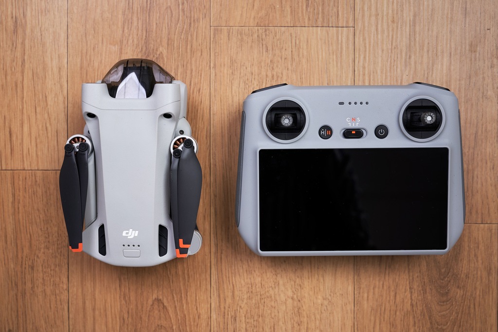
The drone itself matters less than people assume. We fly a lightweight consumer model, the kind most hobbyists already own, and the sub 250 gram class keeps us out of the heavier insurance and certification requirements that apply to bigger aircraft, even though registration is still required the moment a camera is fitted. Battery life is the more practical limit day to day. Wind funnelling through a narrow valley eats charge faster than flat, open ground would, so we rarely plan more than two flights from a single spot before packing up and driving on to the next one. Carrying two or three spare batteries has become as routine as checking the ENAIRE map before takeoff.
We would not claim to be aviation lawyers, and anyone planning to fly a drone here for the first time should check the current AESA and ENAIRE guidance directly rather than relying on a single blog post, since rules and zone maps do get updated. What we can offer is the version that actually matters day to day: register before you fly, check the map for that exact spot rather than assuming a rural area means no restrictions, keep well away from people’s faces, and respect the valley’s own version of weather. Do that, and Galicia rewards you with some of the most striking landscape photography we have found anywhere in Spain, taken entirely within the rules and without a single stranger’s face in the frame. For anyone weighing up whether the drone rules in Galicia are worth the hassle, our honest answer after months of flying here is that they take an afternoon to learn properly and then simply become part of how you plan a trip.