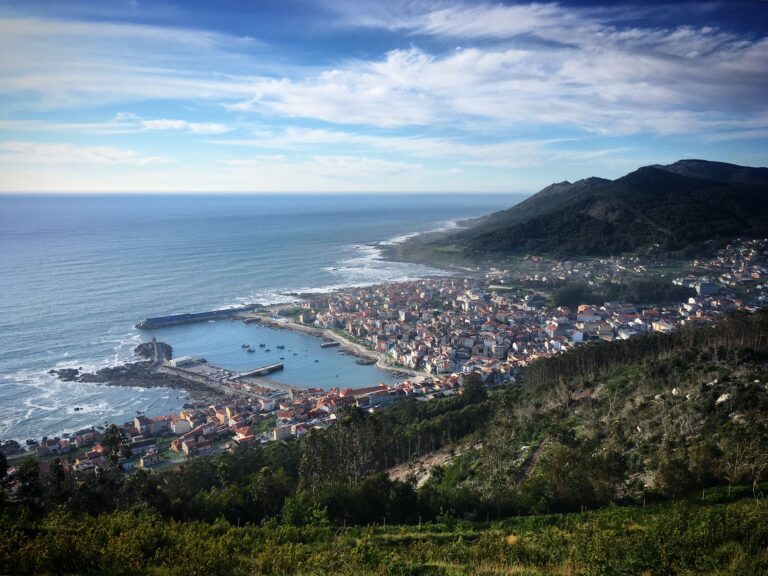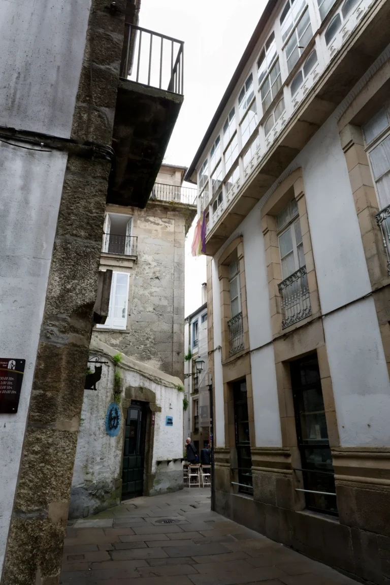
We moved to Ribeira Sacra in January, which makes this our first summer here, and our first real introduction to what fire season actually means in rural Galicia. We’ve watched the hills turn from green to that brittle, straw-yellow colour, we’ve smelled smoke on the wind before it made the news, and we’re still learning to read the signs the way our neighbours, who’ve lived through decades of this, clearly do. So when we heard that Galicia was rolling out a new AI-powered detection system ahead of this year’s fire season, we wanted to understand exactly what it does, and what it doesn’t.
Why Galicia needed a new approach
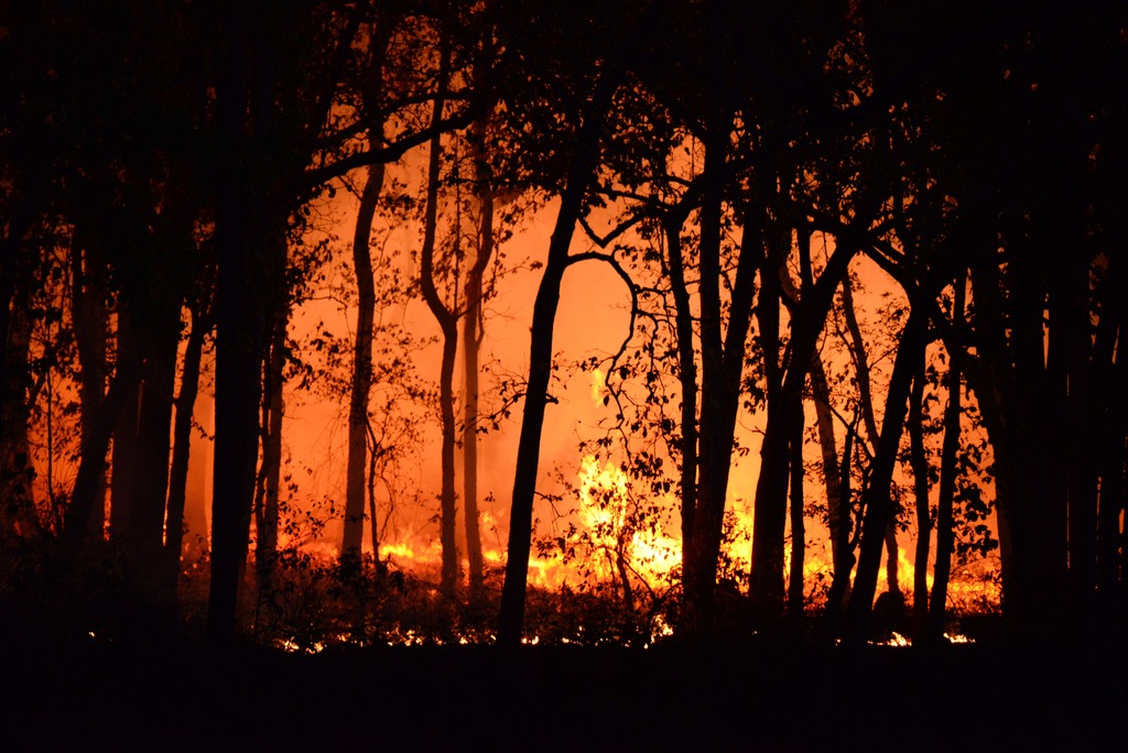
2025 was brutal. More than 118,000 hectares burned across the region, an area larger than the city of Berlin, and the Larouco fire in Ourense became the largest single blaze ever recorded here. Anyone living in rural Galicia felt that summer, whether or not the flames reached their own parish. Ribeira Sacra, with its steep, terraced slopes and stretches of abandoned land grown over with brush and eucalyptus, sits squarely in the kind of terrain that makes fires here so hard to control once they start.
In response, the Xunta de Galicia has launched what it calls the largest wildfire prevention plan in the region’s history: PLADIGA 2026, backed by €213 million and built around a new detection system, an expanded response force, and a public alert app.
What the AI system actually does
The core of the new plan is a network of 241 fixed cameras installed in high-risk parishes across Galicia, feeding a constant stream of images into Xeocode, the region’s internal fire-management platform. The images are analysed by convolutional neural networks, a type of AI trained specifically to recognise patterns in visual data, looking for the tell-tale signs of an ignition: a rising column of smoke, a heat signature, a particular shift in colour or movement across the landscape.
When the system flags something that looks like a fire, it doesn’t send a fire crew straight away. It sends an automatic alert to a technician, who checks the footage before anyone is deployed. So this is AI-assisted detection, not autonomous firefighting: the decision to act still sits with a person.
The results from two years of pilot testing are genuinely impressive: the system can pick up a fire from more than 15 kilometres away, and up to 25 kilometres under favourable weather conditions. The whole point is to shrink the gap between ignition and detection from hours down to minutes. That gap matters enormously. A fire spotted in its first few minutes usually stays small and manageable. A fire that smoulders unnoticed overnight in a remote valley, exactly the kind of terrain we have plenty of around here, can become one of those “megafires” before a single truck arrives.
And what about the drones?
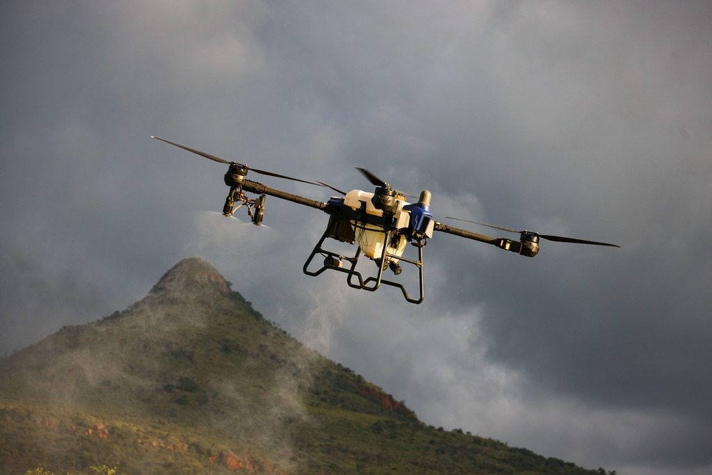
This is where it’s worth separating two things that often get blurred in headlines. The camera-and-AI network is one system, built for early detection. Drones are a separate, complementary tool, used increasingly across Spain, including in Madrid’s regional fire service, mainly for aerial reconnaissance once a fire is already active. They help crews see the full extent of a blaze across large or difficult terrain in a way that ground teams simply can’t. What they are not, at least not yet in Galicia, is a fleet of autonomous aircraft that detects and extinguishes fires without human involvement. That kind of fully autonomous firefighting drone does exist elsewhere as experimental technology, most notably in a US competition called the XPRIZE Wildfire challenge, but it isn’t part of Galicia’s current toolkit.
Galicia isn’t alone in this
The shift toward AI and satellite-based fire detection is happening across the whole of fire-prone southern Europe. Greece has gone furthest, becoming the first country to build a dedicated satellite constellation into its national firefighting response, using nanosatellites that scan the country twice a day and flag blazes as small as four metres across. Portugal, which has the largest cumulative burnt area in Europe over the past two decades, is now integrating similar satellite detection into its own response. 2025 was, across the EU as a whole, the most destructive wildfire season on record, with more than a million hectares burned across 25 of the 27 member states. This isn’t a Galician quirk; it’s a continent adjusting to fires that keep getting worse.
What this means for life here
For us, the practical upshot is reassuring without being a reason to relax. A faster detection system means, in theory, fewer of those fires that get away from everyone before help arrives, which is the scenario that turns a manageable brush fire into a week of smoke-filled skies and evacuation warnings. It doesn’t change the underlying reasons Galicia burns as much as it does: the mix of dense forestry, an ageing rural population, and land that’s been abandoned and left to grow wild. Those are slower problems, tied to how the countryside is managed, not just how quickly a fire gets spotted.